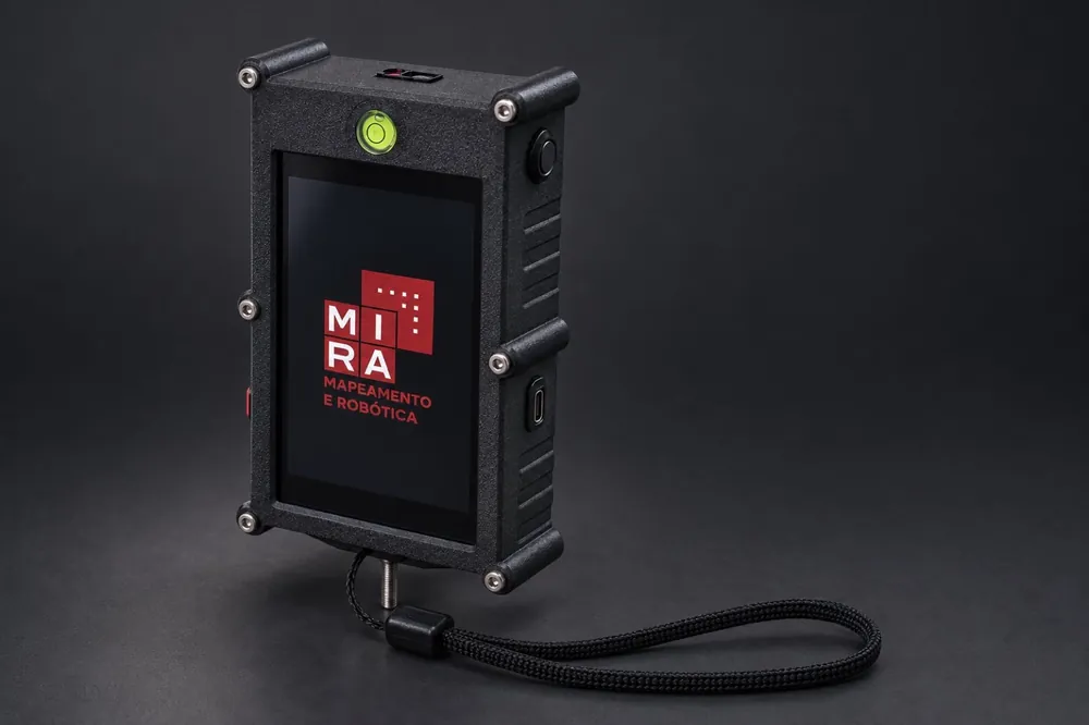
Smart 2D survey tool
Reads distance, inclination and azimuth. The readings build a floor plan, and the azimuth holds up under magnetic interference.
Learn more
Mapping and robotics for caves, ducts and galleries. Built in Brazil, from the handheld survey tool to the robot.


Caves, ducts and galleries have to be mapped, yet every manual visit exposes the crew to falls, collapse and bad air.
When the record relies on what one person saw, audits are weak and permits stall.
A weak report can halt a mine or a dam. Measured, repeatable data shortens the wait.
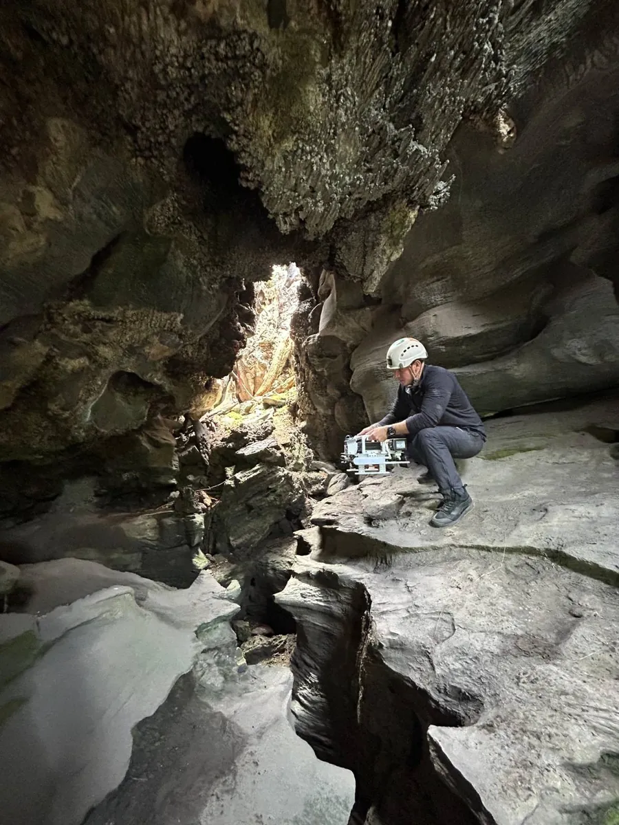
MIRA designs and builds, in Brazil, the hardware and software to map spaces people should not enter. It is not off-the-shelf equipment: the solution is adjusted to each client and each sector.
Our founders bring more than 20 years of robotics and field inspection. The work began at the Federal University of Minas Gerais (UFMG) and grew through projects with Vale, Instituto Tecnológico Vale (ITV) and Petrobras. Over the last eight years it has raised more than R$ 15 million in R&D funding.
Reads distance, inclination and azimuth. The readings build a floor plan, and the azimuth holds up under magnetic interference.
Learn more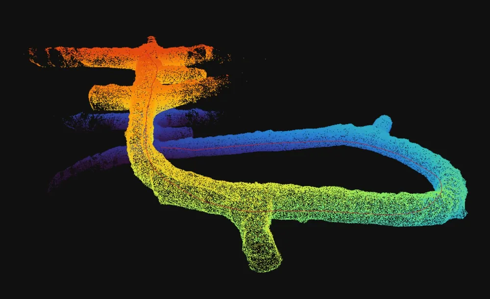
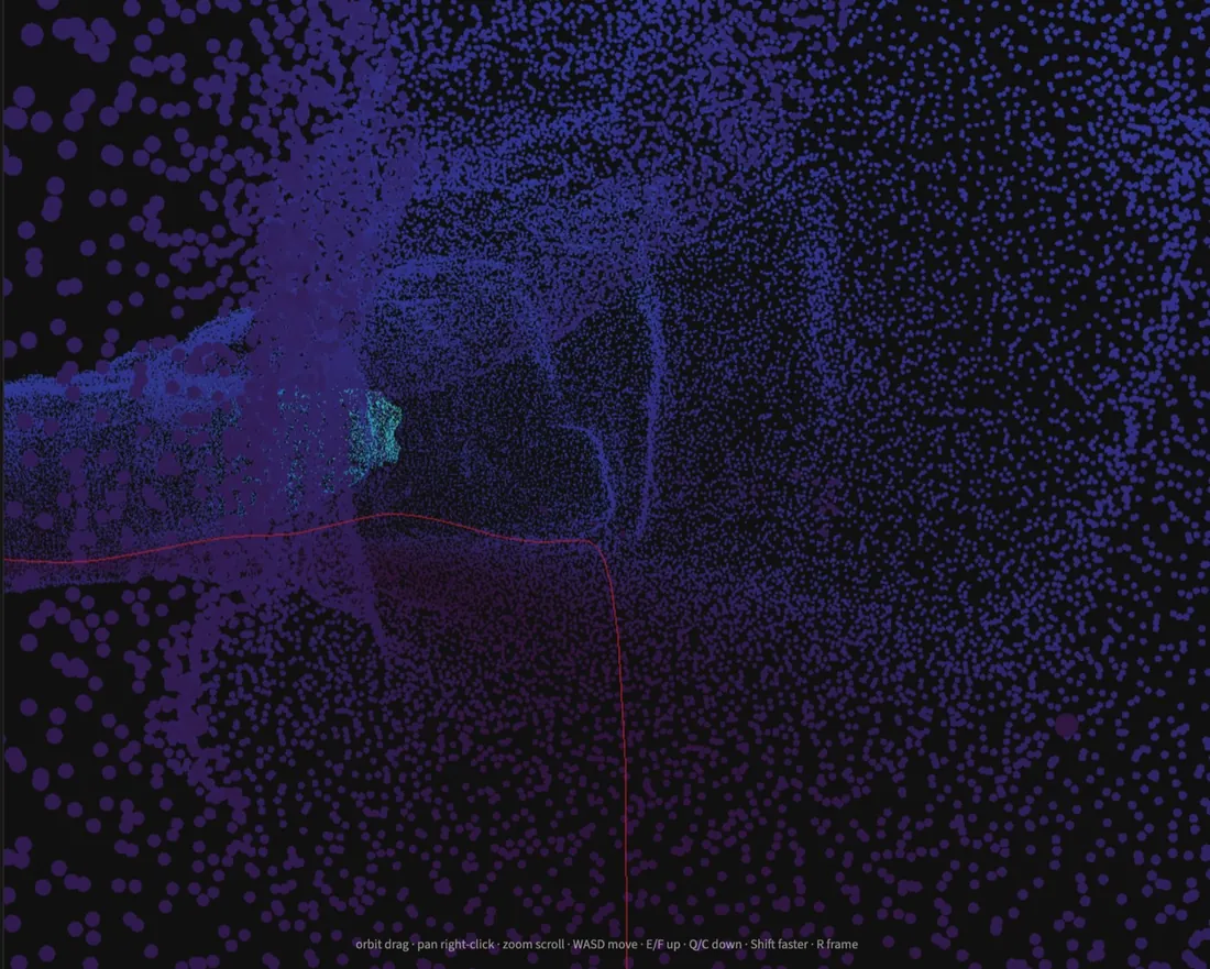
The sensor localizes itself and builds the map at the same time. In MIRA Cloud the team walks that cloud in the browser, reads each section and reviews the same record.
Learn more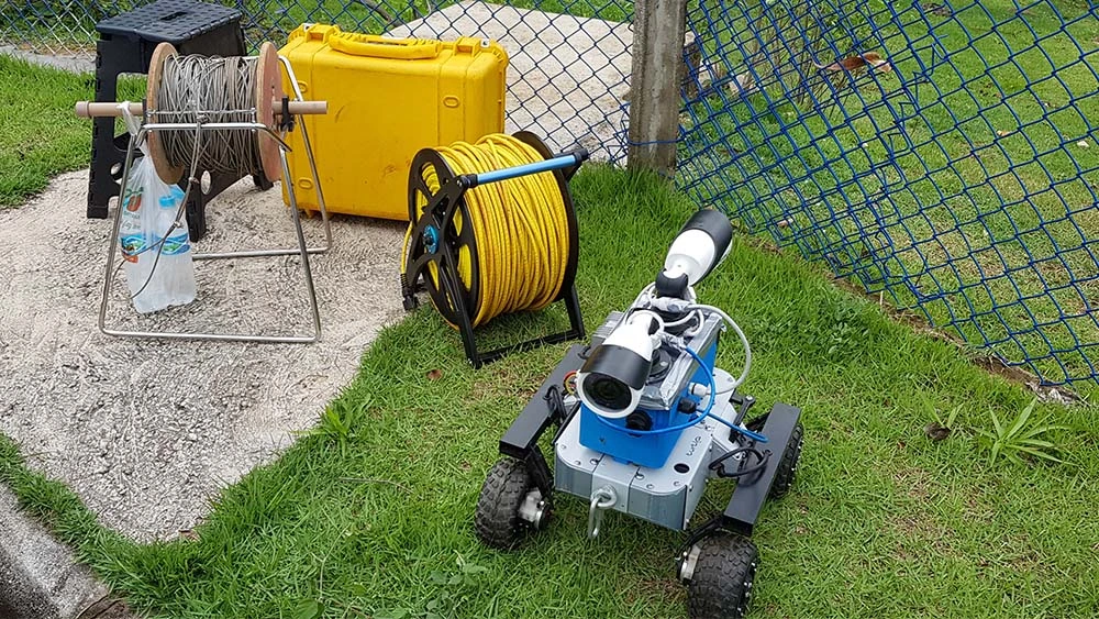
Robots go where a person would face a fatal risk: caves, ducts and dam galleries.
Learn more The survey tool reads distance, inclination and azimuth at every station. From those three measurements the crew draws the floor plan during the survey itself. The azimuth reading stays reliable even under magnetic interference.
The 3D scanner captures the environment during the survey. MIRA Cloud processes the point cloud: it segments the surfaces and dimensions each section. The result is detailed data for auditing caves, galleries and ducts.
When entering is a fatal risk, the robot goes in instead of the crew: caves, ducts and dam galleries. We inspect on demand, and the report rests on measured data, not on memory.
Speleological surveys for mining permits. Brazil has more than 22,000 catalogued caves, and Decree 6,640 and IN 02/2017 require a map, not an estimate.
Geological and geotechnical mapping for the Dam Safety Plan required by Law 12,334/2010, as amended by Law 14,066/2020.
Remote inspection of drains along railways and of ducts that crews should not enter.
Robotic inspection of confined spaces, building on our work with Petrobras and the ITV cave-survey platform.
Permits and licence renewals backed by quantitative records instead of reports that rely on field notes.
The survey cloud opens in the browser. The team walks the path, reads the section and reviews the same record after the field day.

PhD from UFMG and resident researcher at CENPES/Petrobras, focused on industrial inspection.
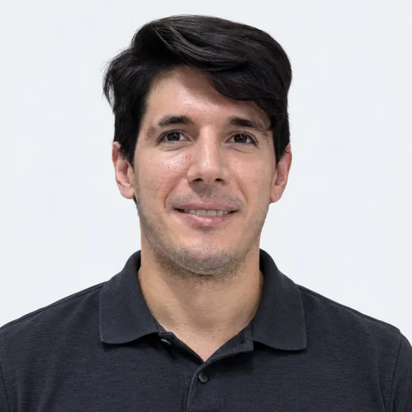
Professor of Computer Science at UFMG. Former machine-learning engineer at Meta and researcher at ITV and Komatsu.

Professor of Electrical Engineering at UFMG, with doctoral research at Carnegie Mellon. Finance director of SBRobótica.

Professor of Computer Science at UFMG, working on computer vision, mapping and robotics.
The hardware, the software and the field operation to map confined spaces. The result is a measured record that can be audited.
Tell us about the site through the form. Together we decide whether it calls for the 2D survey tool, 3D mapping with MIRA Cloud or a robot.
Yes. The point cloud and the report live in MIRA Cloud and open in a web browser, so engineers, auditors and managers all look at the same record.
No. Our team develops the mapping hardware and software, and adjusts them to each client and each sector. The work started at UFMG and grew through projects with Vale, ITV and Petrobras.
Describe the space, your timeline and whether you need the 2D survey tool, MIRA Cloud or a robot. We reply by email. If the form fails, write to contato@mirarobotica.com.